Maps & Compasses
Description
Reference
Price
Quantity
Buy
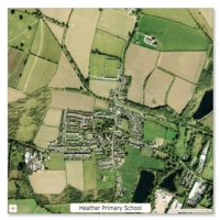
Printed on high-quality, hard-wearing PVC, this floor mat features a detailed aerial photograph centred on your school or area of choice. Use on the floor, desk or hang on
Back in stock shortly, please ask for due date
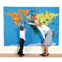
A giant, cloth world map which can be hung on the wall or used on the floor for fun interactive learning about the world, the countries, cities, environment, landscape and its
Back in stock shortly, please ask for due date
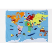
A cloth world map which can be hung on the wall or used on the floor for fun interactive learning about the world, the countries, cities, environment, landscape and its
Back in stock shortly, please ask for due date
Collins World in Maps is a multi-topic atlas of the world, which introduces the most relevant physical and human topics to reflect the Geography Key Stage 2-3
Back in stock shortly, please ask for due date
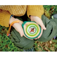
Find your way with this real working compass set. Features a mirror on the back to signal with. Includes a carabiner to help stow your gear (up to 10kg). Made from plant-based
Back in stock shortly, please ask for due date
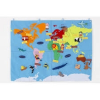
Designed specifically for KS1 this world map is a great introduction to the different continents and oceans across the world.The large A1 size and simple design makes
Back in stock shortly, please ask for due date
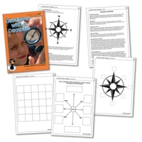
This booklet is full of inspiring and practical activities to foster an enjoyment and understanding of compass work. Pupils will learn the eight points of a
Back in stock shortly, please ask for due date
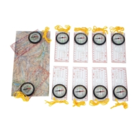
Our easy to read, budget Mapping Compass is liquid filled with metric and imperial scale on the clear base plate. There is also a magnifier to focus on the
Back in stock shortly, please ask for due date
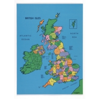
The polyester surface, rubber-backed maps show all major countries and cities in beautiful colour.Size: 100 cm x 70 cm.
Back in stock shortly, please ask for due date
Great photocopiable resources to develop mapping skills. Lower includes: mazes, pathways, pictorial story maps and school walks. Contains blank outlines of British
Back in stock shortly, please ask for due date
Photocopiable resources to develop mapping skills. Includes grid references, scales and compass direction. Contains blank outlines of the British Isles and Europe
Back in stock shortly, please ask for due date
Resources to develop mapping skills. Includes latitude and longitude, scales and estimating distance. Contains blank outlines of the British Isles and Europe
Back in stock shortly, please ask for due date
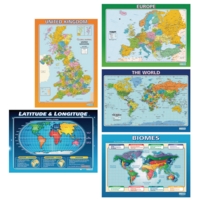
This colourful and engaging set of posters includes a wide range of maps that display the world's continents and countries in a variety of fascinating ways. Each poster
Back in stock shortly, please ask for due date
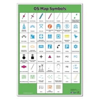
Poster featuring 52 conventional map symbols and simple descriptions from Ordnance Survey's 1:25 000 scale Explorer map series. A superb reference to display in
Back in stock shortly, please ask for due date
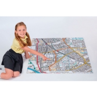
Printed on high-quality, hard-wearing PVC, this floor mat features a detailed Ordnance Survey Map centred on your school or area of choice. Use on the floor, desk or hang
Back in stock shortly, please ask for due date
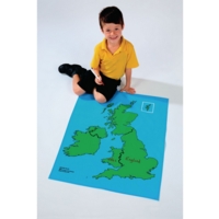
Map printed on cotton with PVC dry-wipe surface. Country boundaries shown in black.Size: 800 mm x 700 mm.
Back in stock shortly, please ask for due date
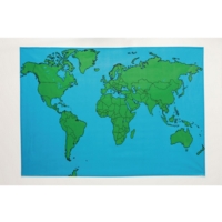
Map is printed on cotton with PVC dry-wipe surface. Country boundaries shown in black.Size: 140 cm x 98 cm.
Back in stock shortly, please ask for due date
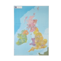
A pack of 5 large paper maps clearly showing the borders between England, Scotland, Wales and Northern Ireland. Counties are shown in different shades. Cities and
Back in stock shortly, please ask for due date
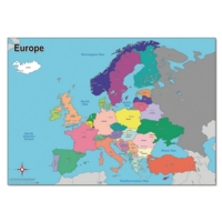
Say Bonjour, Hola, Witam and Ciao to this clear, colourful map of Europe.Detailing the country borders, capital cities and oceans, it is perfect for any classroom or
Back in stock shortly, please ask for due date
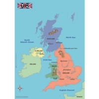
Atlas! You've found the perfect resource to put Geography learning on the map. This clear, colourful map of the United Kingdom details the principal towns, cities, seas,
Back in stock shortly, please ask for due date
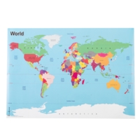
Atlas! You've found the perfect resource to help your pupils make sense of the world around us. This clear, colourful map of the World details country borders,
Back in stock shortly, please ask for due date
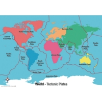
A simple world map designed to identify and locate the World's tectonic plates. A basic and clear introduction to tectonic plates, the earth's structure and
Back in stock shortly, please ask for due date
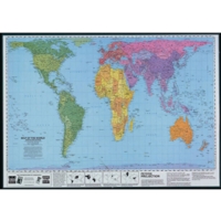
This laminated map shows the world's land areas and oceans in their true proportions. Labelled with continents, countries, major cities, oceans and seas, this huge map
Back in stock shortly, please ask for due date
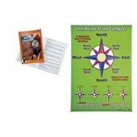
A simple A1 reference poster indicating the points of the compass and basic compass use.
Back in stock shortly, please ask for due date

